

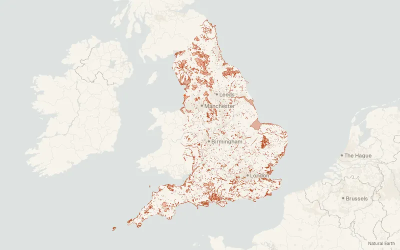
Sites of Special Scientific Interest (England)
Natural England
- License
- Attribution
- Commercial
- Yes
- Format
- Shapefile, GeoJSON, CSV
- Coverage
- England
- Projection
- EPSG:27700
- Last updated
- 21 Oct 2026 · Update frequency Weekly
Tags
Sites fall under the Wildlife and Countryside Act 1981, excluding proposed and 1949-only notifications.
CartaTerra can export this layer as GeoPackage, Shapefile, GeoJSON, KML, CSV, or GPX.
Source and attribution
- Publisher
- Natural England
- License
- Attribution
- Commercial use
- Yes
- Attribution required
- Yes
- Modification allowed
- Yes
- Redistribution allowed
- Yes
- Share-alike
- No
- Region
- EuropeGB
- Type
- Vector
- Service
- ArcGIShttps://services.arcgis.com/JJzESW51TqeY9uat/arcgis/rest/services/SSSI_England/FeatureServer
- Extent
- -6.4549.861.7755.81West, south, east, north. Approximate region extent.
Related datasets
- EcologyPriority Habitats Inventory (England)VectorEuropeSpeciesTwenty-seven priority habitats are mapped across England for biodiversity.
- Public landCRoW Act 2000 - Access LayerVectorEuropeOpen country and registered common land are shown as access land in England.
- EcologyAncient Woodland (England)VectorEuropeForestWoodland mapped in England has remained wooded continuously since at least 1600.
- ElevationLIDAR Composite DTM/DSM (England)RasterEuropeDEMLidarBare-earth elevations at 1 m covering about 99 percent of England.
- BoundariesLower layer Super Output Areas (December 2021) Boundaries EW BFC (V10)VectorEuropeLower layer Super Output Areas Boundaries EW BFC.
- Protected areasNational Parks (England)VectorEuropeParksOfficial lines trace the outer boundary of every national park in England.