

Cadastral data - Queensland series
Department of Natural Resources and Mines, Manufacturing and Regional and Rural Development
- License
- Attribution
- Commercial
- Yes
- Format
- Several
- Coverage
- Queensland, Australia
- Last updated
- Added to findgis 30 Oct 2026 · Update frequency Irregular
The digital cadastre is the spatial form of each current parcel and the map base for land information in the state.
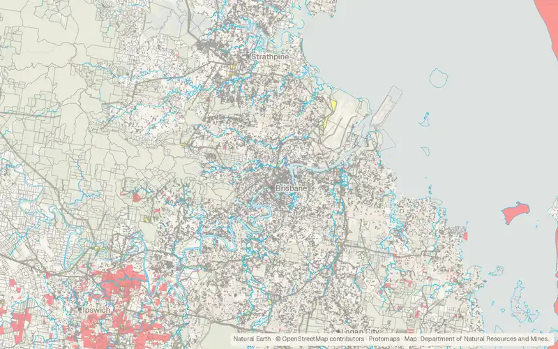
CartaTerra can export this layer as GeoPackage, Shapefile, GeoJSON, KML, CSV, or GPX.
Source and attribution
- Publisher
- Department of Natural Resources and Mines, Manufacturing and Regional and Rural Development
- License
- Attribution
- Commercial use
- Yes
- Attribution required
- Yes
- Modification allowed
- Yes
- Redistribution allowed
- Yes
- Share-alike
- No
- Region
- AustraliaAU
- Type
- Vector
- Extent
- 137.9-29.2153.6-9.1West, south, east, north. Data extent.
Related datasets
- TransportationQueensland roads and tracksVectorAustraliaRoadsApproximate centrelines locate roads and tracks throughout Queensland.
- PopulationAustralian Population Grid (1 km)RasterAustraliaPopulation density across Australia is reported in cells of 1 square kilometre.
- Public landNative Title DeterminationsVectorAustraliaApproved decisions on native title over Australian land and waters are mapped.
- Public landLand tenure of Australia 2010–11 to 2015–16, 250 mRasterAustraliaLegal tenure of Australian land is gridded at 250 m for 2010-11 and 2015-16.
- Points of interestGeoscape Geocoded National Address File (G-NAF) (Australia)VectorAustraliaGeoscape Geocoded National Address File.
- BoundariesGeoscape Administrative Boundaries (Australia)VectorAustraliaGovernment, statistical, and electoral boundaries are compiled for all of Australia.