

Marine Ecoregions and Pelagic Provinces of the World (MEOW/PPOW)
UNEP-WCMC / The Nature Conservancy
- License
- Non-commercialNon-commercial
- Commercial
- No
- Format
- Several
- Coverage
- Global oceans
- Projection
- EPSG:4326 · WGS 84
- Last updated
- Added to findgis 29 Oct 2026 · Update frequency Static
Tags
UNEP-WCMC and the Nature Conservancy designed the scheme so it can be tied to regional classifications.
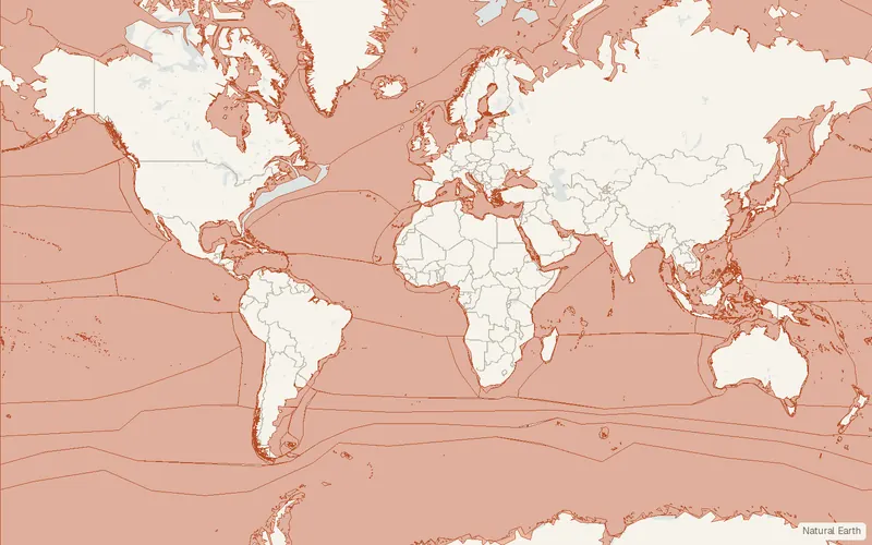
CartaTerra can export this layer as GeoPackage, Shapefile, GeoJSON, KML, CSV, or GPX.
Source and attribution
- Publisher
- UNEP-WCMC / The Nature Conservancy
- License
- Non-commercialNon-commercial
- Commercial use
- No
- Attribution required
- Yes
- Modification allowed
- See publisher
- Redistribution allowed
- See publisher
- Share-alike
- No
- Region
- Global
- Type
- Vector
- Extent
- -180-9018090West, south, east, north. Approximate region extent.
Related datasets
- HydrologyHydroSHEDSRasterGlobalHydrographyRiversRiver networks, basins, and flow grids.
- HydrologyHydroBASINSVectorGlobalHydrographyWatershedsWatersheds nested inside larger watersheds.
- HydrologyGlobal Dam Watch DatabaseVectorGlobalHydrographyDamsRiversLakesDams, reservoirs and river barriers.
- HydrologyHydroLAKESVectorGlobalHydrographyLakesShorelines and attributes of lakes 10 hectares and larger.
- HydrologyJRC Global Surface WaterRasterGlobalHydrographyWhere and how often surface water occurred since 1984.
- HydrologyGlobal River Widths from Landsat (GRWL)VectorGlobalHydrographyRiversLandsat-derived widths are given for global rivers at least 30 m wide.