

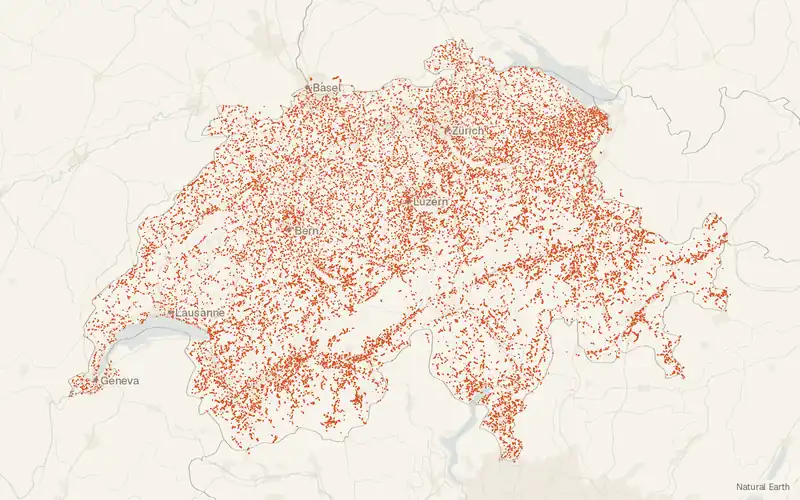
swissTLM3D Hiking Trails (Switzerland)
Federal Office of Topography swisstopo
- License
- Attribution
- Commercial
- Yes
- Format
- GeoPackage
- Coverage
- Switzerland and Liechtenstein
- Projection
- EPSG:2056
- Last updated
- Added to findgis 29 Oct 2026 · Update frequency Annual
Tags
Trails published with FEDRO, SwitzerlandMobility, Suisse Rando, and the cantons. May 2023 corrections for Basel-Landschaft are only in the web layers.
Source and attribution
- Publisher
- Federal Office of Topography swisstopo
- License
- Attribution
- Commercial use
- Yes
- Attribution required
- Yes
- Modification allowed
- See publisher
- Redistribution allowed
- See publisher
- Share-alike
- No
- Region
- EuropeCH, LI
- Type
- Vector
- Time
- 2026-07-28–2026-07-28
- Download
- Hiking trails (GeoPackage, LV95)
- Extent
- 5.3345.311.448.19West, south, east, north. Data extent.
Related datasets
- BoundariesswissBOUNDARIES3D, SwitzerlandVectorEuropeAdministrative units and national borders of Switzerland and Liechtenstein.
- Points of interestswissNAMES3D geographical names of the national Survey, SwitzerlandVectorEuropeMore than 400,000 geographical names covering Switzerland and Liechtenstein.
- Camping and recreationBathing water quality, SwitzerlandVectorEuropeBathing-water quality at Swiss sites, graded from fecal bacteria counts.
- Public landSwiss National Park and parks of national importance (Zones), SwitzerlandVectorEuropeParksSwiss National Park plus regional nature parks and nature discovery parks in Switzerland.
- ElevationswissALTI3D, SwitzerlandRasterEuropeDEMBare-earth elevation for Switzerland and Liechtenstein, updated every six years.
- Geology and soilsGeoCover - Vector Datasets, SwitzerlandVectorEuropeGeoCover vector geology for Switzerland, based on 1:25,000 atlas sheets.