

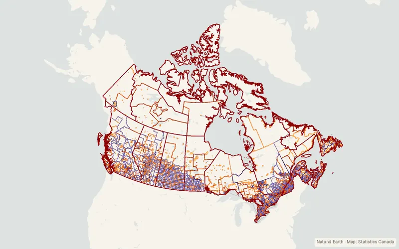
Statistics Canada Census Boundary Files
Statistics Canada
- License
- Attribution
- Commercial
- Yes
- Format
- Shapefile, Several
- Coverage
- Canada
- Projection
- EPSG:3347
- Last updated
- Added to findgis 27 Oct 2026 · Update frequency Irregular
Tags
Each boundary file can be linked to all higher level geographic areas using its DGUID and the new 2021 Dissemination Geographies Relationship File.
CartaTerra can export this layer as GeoPackage, Shapefile, GeoJSON, KML, CSV, or GPX.
Source and attribution
- Publisher
- Statistics Canada
- License
- Attribution
- Commercial use
- Yes
- Attribution required
- Yes
- Modification allowed
- See publisher
- Redistribution allowed
- See publisher
- Share-alike
- No
- Region
- CanadaCA
- Type
- Vector
- Service
- ArcGIShttps://geo.statcan.gc.ca/geo_wa/rest/services/2021/Cartographic_boundary_files/MapServerWMShttps://geo.statcan.gc.ca/geo_wa/services/2021/Cartographic_boundary_files/MapServer/WMSServer?request=GetCapabilities&service=WMSArcGIShttps://geo.statcan.gc.ca/geo_wa/rest/services/2021/Population_ecumene_boundary_files/MapServer
- Extent
- -14141.68-52.6283.11West, south, east, north. Data extent.
Related datasets
- Public landAboriginal Lands of Canada Legislative BoundariesVectorCanadaAboriginal land boundaries in Canada for reserves and claim-settlement lands.
- BoundariesCanVec Topographic Data of CanadaVectorCanadaTopographic base layers for mapping at 1:50,000.
- Points of interestCanadian Geographical Names - CGNVectorCanadaOfficial geographical names on Canada's land and water, approved since 1897.
- AgricultureAgricultural Ecumene Boundary File - 2021 (Canada)VectorCanadaAreas of significant farming in Canada's 2021 agricultural ecumene.
- AgricultureCensus of Agriculture: Agri-Environmental Spatial Data (AESD) (Canada)VectorCanadaWatershedsSoilsFarm variables from Canada's agriculture census, placed on soils and watersheds.
- AgricultureCensus of Agriculture: Data Linked to Geographic Boundaries (Canada)VectorCanadaFarm census figures for Canada on provinces, regions, divisions, and subdivisions.