

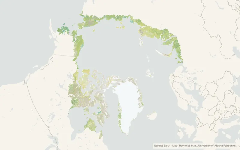
Raster Circumpolar Arctic Vegetation Map (Arctic)
Raynolds et al., University of Alaska Fairbanks (Mendeley Data)
- License
- Non-commercialNon-commercial
- Commercial
- No
- Format
- GeoTIFF
- Coverage
- Circumpolar Arctic tundra
- Resolution
- 1000 m
- Last updated
- Added to findgis 30 Oct 2026 · Update frequency Static
A 1000 m raster uses the original legend: 16 vegetation types, glacier, saline water, freshwater, and a non-Arctic class.
Source and attribution
- Publisher
- Raynolds et al., University of Alaska Fairbanks (Mendeley Data)
- License
- Non-commercialNon-commercial
- Commercial use
- No
- Attribution required
- Yes
- Modification allowed
- Yes
- Redistribution allowed
- Yes
- Share-alike
- No
- Region
- Arctic
- Type
- Raster
- Extent
- -1804518090West, south, east, north. Data extent.
Related datasets
- Geology and soilsESA CCI Permafrost (ground temperature, active layer, extent)RasterArcticGround temperature and active-layer depth across northern permafrost.
- ElevationArcticDEMRasterArcticDEMArctic elevation from satellite stereo pairs.
- Geology and soilsCircum-Arctic Map of Permafrost and Ground-Ice Conditions (GGD318)VectorArcticPermafrost and ground ice from 20 degrees north to the pole, at 1:10,000,000.
- OceansInternational Bathymetric Chart of the Arctic Ocean (IBCAO) v5RasterArcticBathymetryDetailed Arctic seafloor depths from ship surveys, much finer than the global grid.
- AgricultureCopernicus Vegetation Index Anomaly, FAPAR Anomaly, VIIRS 10-Day (Global)RasterGlobalTen-day VIIRS anomalies in global vegetation greenness, flagging agricultural drought.
- EcologyEPA Level III and IV EcoregionsVectorNorth AmericaRegions of similar ecosystems and environmental resources.