

1:250 000 Scale Colour Raster
Ordnance Survey
- License
- Attribution
- Commercial
- Yes
- Format
- GeoTIFF
- Coverage
- Great Britain
- Scale
- 1:250,000
- Last updated
- Added to findgis 29 Oct 2026 · Update frequency Irregular
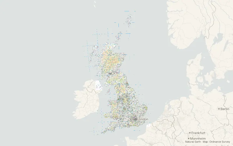
Ordnance Survey colour imagery gives a regional view of Great Britain at 1:250,000, with the content and look of a typical road atlas.
Source and attribution
- Publisher
- Ordnance Survey
- License
- Attribution
- Commercial use
- Yes
- Attribution required
- Yes
- Modification allowed
- Yes
- Redistribution allowed
- Yes
- Share-alike
- No
- Region
- EuropeGB
- Type
- Raster
- Download
- ras250_gb.zip
- Extent
- -8.6549.861.7760.86West, south, east, north. Approximate region extent.
Related datasets
- ElevationOS Terrain 50RasterEuropeDEMTerrain elevation for simple 3D landscape views across Great Britain.
- HazardsBGS GeoCoast OpenVectorEuropeCoastal erosion domains and county shoreline statistics are summarized for Great Britain.
- HazardsBGS GeoSure 5 km hex gridVectorEuropeLandslideSix natural ground hazards in Great Britain are rated on hexagons 5 km on a side.
- HazardsBGS Mining hazard (not including coal) 1 km hex gridVectorEuropeMiningBGS Mining hazard hex grid.
- HazardsBGS/UKHSA Radon data: Indicative Atlas of RadonVectorEuropeEach 1 km square in the United Kingdom is classed by its highest radon potential.
- BoundariesBoundary-LineVectorEuropeAdministrative areas of Great Britain, from constituencies down to council wards.