

Yemen – Subnational Administrative Boundaries (COD-AB)
UN OCHA (source: Central Statistical Organization (CSO))
- License
- Attribution
- Commercial
- Yes
- Format
- GeoJSON, Shapefile
- Coverage
- Yemen
- Last updated
- 26 Jan 2026 · Update frequency Annual
Tags
Yemen's central statistical organization supplied version 01, created on 9 October 2023.
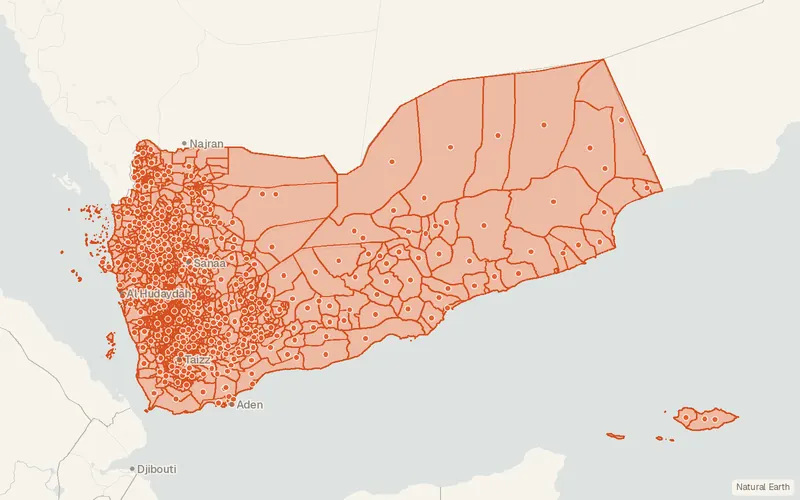
Some publishers block opening this file in another site. CartaTerra will offer a download and upload instead.
Source and attribution
- Publisher
- UN OCHA (source: Central Statistical Organization (CSO))
- License
- Attribution
- Commercial use
- Yes
- Attribution required
- Yes
- Modification allowed
- See publisher
- Redistribution allowed
- See publisher
- Share-alike
- No
- Region
- Middle East & Central AsiaYE
- Type
- Vector
- Time
- 2019-11-22–2024-12-23
- Extent
- 42.612.5953.1119West, south, east, north. Data extent.
Related datasets
- PopulationYemen Populated PlacesVectorMiddle East & Central AsiaOpenStreetMap populated places across Yemen are current as of December 2023.
- HydrologyYemen - Water CoursesVectorMiddle East & Central AsiaHydrographyRiversWadis in Yemen are mapped as the country's watercourses from an April 2014 source.