

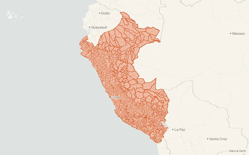
Peru – Subnational Administrative Boundaries (COD-AB)
UN OCHA (source: Instituto Geográfico Nacional - IGN)
- License
- Attribution
- Commercial
- Yes
- Format
- GeoJSON, Shapefile
- Coverage
- Peru
- Last updated
- 26 Jan 2026 · Update frequency Annual
Tags
Peru's national geographic institute supplied version 01, created on 24 July 2015.
Some publishers block opening this file in another site. CartaTerra will offer a download and upload instead.
Source and attribution
- Publisher
- UN OCHA (source: Instituto Geográfico Nacional - IGN)
- License
- Attribution
- Commercial use
- Yes
- Attribution required
- Yes
- Modification allowed
- See publisher
- Redistribution allowed
- See publisher
- Share-alike
- No
- Region
- South AmericaPE
- Type
- Vector
- Time
- 2020-07-14–2025-10-30
- Extent
- -81.41-18.35-68.67-0.06West, south, east, north. Data extent.
Related datasets
- TransportationTransporte y Comunicaciones de PeruVectorSouth AmericaTransport and communications features in Peru come from 1/100,000 national maps.
- EcologyAboveground Biomass 100 m, 2025 (Peru)RasterSouth AmericaAboveground biomass estimates cover Peru at 100 m for all of 2025.
- BoundariesPublic Cadastral Base, IGAC Manager, August 2026 (Colombia)VectorSouth AmericaParcelsCadastral records managed by IGAC for Colombia and dated to August 2026.
- BoundariesHomogeneous Physical and Geoeconomic Zones 2026 (Colombia)VectorSouth AmericaZones of shared physical and geoeconomic character mapped in Colombia for 2026.