

Laos – Subnational Administrative Boundaries (COD-AB)
UN OCHA (source: National Geographic Department (NGD))
- License
- Attribution
- Commercial
- Yes
- Format
- GeoJSON, Shapefile
- Coverage
- Laos
- Last updated
- 14 Aug 2026 · Update frequency Annual
Tags
Laos version 01 calls level 1 khoueng or kampheng nakhon, with boundaries created on 1 January 2019.
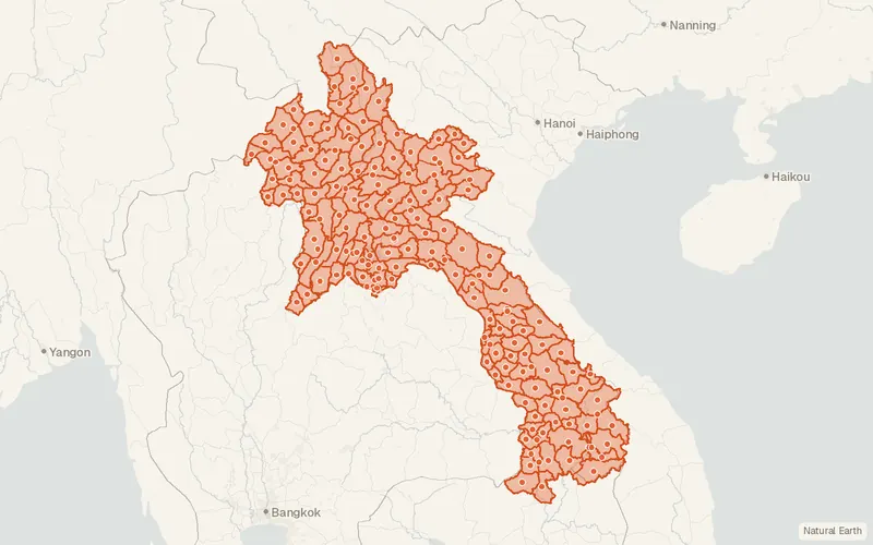
Some publishers block opening this file in another site. CartaTerra will offer a download and upload instead.
Source and attribution
- Publisher
- UN OCHA (source: National Geographic Department (NGD))
- License
- Attribution
- Commercial use
- Yes
- Attribution required
- Yes
- Modification allowed
- See publisher
- Redistribution allowed
- See publisher
- Share-alike
- No
- Region
- AsiaLA
- Type
- Vector
- Time
- 2019-11-12–2025-10-30
- Extent
- 100.1213.88107.5622.46West, south, east, north. Data extent.
Related datasets
- BoundariesVietnam – Subnational Administrative Boundaries (COD-AB)VectorAsiaThirty-four provinces form Vietnam, and no finer admin level is stored.
- BoundariesThailand – Subnational Administrative Boundaries (COD-AB)VectorAsiaSeventy-seven provinces, 928 districts, and 7425 tambon divide Thailand.
- InfrastructureHealth Facilities of Vietnam (OpenStreetMap export)VectorAsiaClinics, hospitals and pharmacies in Vietnam as mapped by volunteers, for access and response planning.