

Colombia – Subnational Administrative Boundaries (COD-AB)
UN OCHA (source: Departamento Administrativo Nacional de Estadística (DANE))
- License
- Attribution
- Commercial
- Yes
- Format
- Shapefile
- Coverage
- Colombia
- Last updated
- 27 May 2025 · Update frequency Annual
Tags
Version 02 counts 33 departments, 1122 municipalities, and 31880 corregimientos or comunas, with partial coverage.
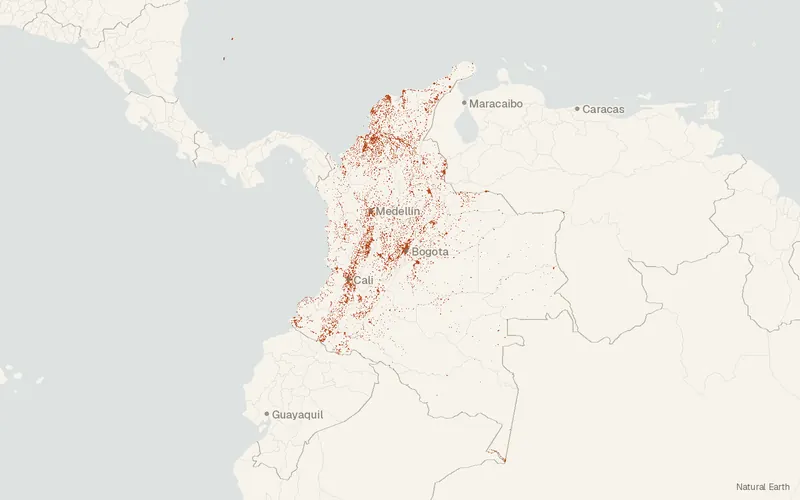
Some publishers block opening this file in another site. CartaTerra will offer a download and upload instead.
Source and attribution
- Publisher
- UN OCHA (source: Departamento Administrativo Nacional de Estadística (DANE))
- License
- Attribution
- Commercial use
- Yes
- Attribution required
- Yes
- Modification allowed
- See publisher
- Redistribution allowed
- See publisher
- Share-alike
- No
- Region
- South AmericaCO
- Type
- Vector
- Time
- 2020-04-16–2024-11-20
- Download
- MGN2024_URB_SECCION.zipAdmin 3 level-vereda.zipCOL Administrative Divisions Shapefiles.zipCOL Administrative Divisions Geodatabase.zip
- Extent
- -78.99-4.3-66.8812.44West, south, east, north. Data extent.
Related datasets
- BoundariesPublic Cadastral Base, IGAC Manager, August 2026 (Colombia)VectorSouth AmericaParcelsCadastral records managed by IGAC for Colombia and dated to August 2026.
- BoundariesHomogeneous Physical and Geoeconomic Zones 2026 (Colombia)VectorSouth AmericaZones of shared physical and geoeconomic character mapped in Colombia for 2026.
- EcologyAboveground Biomass 100 m, 2025 (Colombia)RasterSouth AmericaCTrees maps 2025 aboveground biomass across Colombia at 100 meters.
- Protected areasColombia – Registro Único Nacional de Áreas Protegidas (RUNAP)VectorSouth AmericaRegistro Único Nacional de Áreas Protegidas.
- Protected areasColombia – Límites oficiales de los Parques Nacionales NaturalesVectorSouth AmericaParksOfficial boundaries of the 64 protected areas in Colombia's national park system.
- Protected areasColombia – Zonificación de manejo de los Parques Nacionales NaturalesVectorSouth AmericaParksManagement zoning for the natural national parks of Colombia.