

Botswana – Subnational Administrative Boundaries (COD-AB)
UN OCHA (source: UNFPA)
- License
- Attribution
- Commercial
- Yes
- Format
- Shapefile
- Coverage
- Botswana
- Last updated
- 18 May 2021 · Update frequency Irregular
Tags
Botswana level 1 has 17 features of unstated type, and level 2 has 28 features.
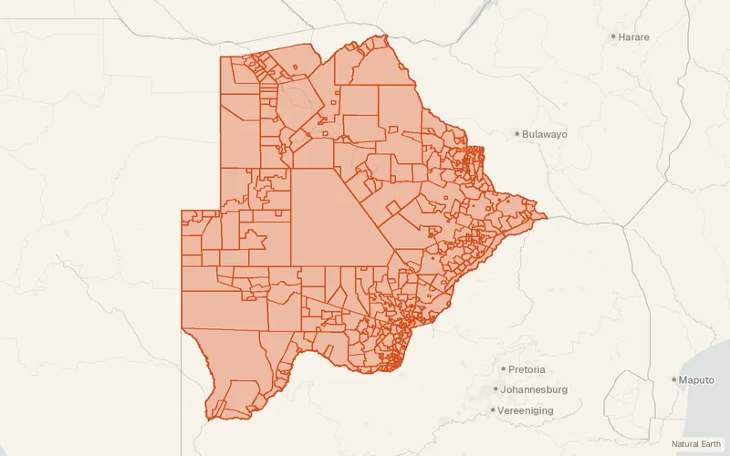
Some publishers block opening this file in another site. CartaTerra will offer a download and upload instead.
Source and attribution
- Publisher
- UN OCHA (source: UNFPA)
- License
- Attribution
- Commercial use
- Yes
- Attribution required
- Yes
- Modification allowed
- See publisher
- Redistribution allowed
- See publisher
- Share-alike
- No
- Region
- AfricaBW
- Type
- Vector
- Time
- 2021-05-18 onward
- Extent
- 19.9-26.8329.43-17.66West, south, east, north. Data extent.
Related datasets
- BoundariesNamibia – Subnational Administrative Boundaries (COD-AB)VectorAfricaFourteen regions and 107 constituencies form Namibia's admin tiers.
- PopulationModelled Gridded Population Estimates 2019, version 1.0 (Zambia)RasterAfricaModelled Gridded Population Estimates version.
- BoundariesZimbabwe – Subnational Administrative Boundaries (COD-AB)VectorAfricaTen provinces, 91 districts, and 1961 wards form Zimbabwe's admin divisions.
- BoundariesSouth Africa – Subnational Administrative Boundaries (COD-AB)VectorAfricaNine provinces, 52 districts, and 213 local municipalities divide South Africa.
- PopulationGRID3 Settlement Extents v3.0 – country datasetsVectorAfricaUrbanSettlement polygons are published as country layers for 52 African countries.
- PopulationAfricapolis urban agglomerationsVectorAfricaUrbanMore than 13,000 urban agglomerations are mapped across 54 African countries.