

Bangladesh – Subnational Administrative Boundaries (COD-AB)
UN OCHA (source: Bangladesh Bureau of Statistics (BBS))
- License
- Attribution
- Commercial
- Yes
- Format
- GeoJSON, Shapefile
- Coverage
- Bangladesh
- Last updated
- 26 Jan 2026 · Update frequency Irregular
Tags
Level 3 in version 03 mixes 495 upazilas with 12 city corporations.
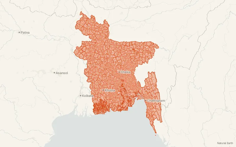
Some publishers block opening this file in another site. CartaTerra will offer a download and upload instead.
Source and attribution
- Publisher
- UN OCHA (source: Bangladesh Bureau of Statistics (BBS))
- License
- Attribution
- Commercial use
- Yes
- Attribution required
- Yes
- Modification allowed
- See publisher
- Redistribution allowed
- See publisher
- Share-alike
- No
- Region
- AsiaBD
- Type
- Vector
- Time
- 2023-05-21–2025-06-01
- Extent
- 88.0820.6792.6726.45West, south, east, north. Data extent.
Related datasets
- InfrastructureHealth Facilities of Bangladesh (OpenStreetMap export)VectorAsiaClinics, hospitals and pharmacies in Bangladesh as mapped by volunteers, for access and response planning.
- PopulationCities and Towns of NepalVectorAsiaCities, towns, villages, hamlets, and suburbs are positioned across Nepal.