

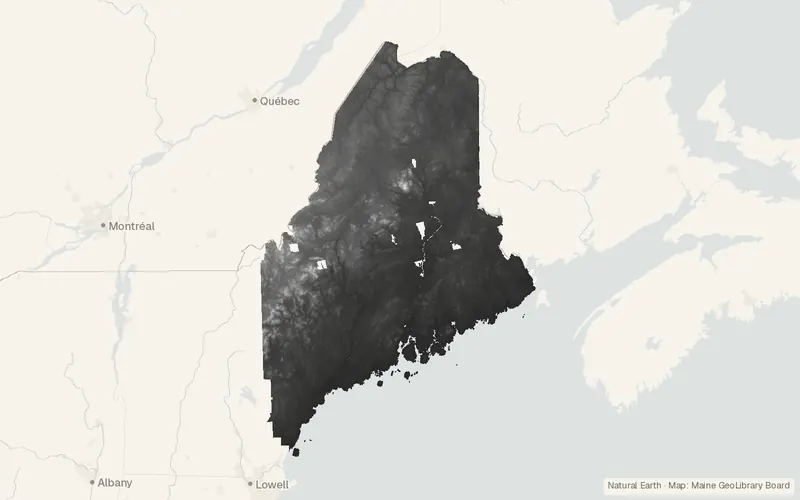
Maine Elevation DEM Statewide
Maine GeoLibrary Board
- License
- Public domain
- Commercial
- Yes
- Format
- Several
- Coverage
- Maine, United States
- Projection
- EPSG:26919
- Last updated
- Added to findgis 30 Oct 2026 · Update frequency Irregular
The 2025 Maine GeoLibrary project assembles these LiDAR heights as a statewide tiled surface.
CartaTerra can export this layer as GeoPackage, Shapefile, GeoJSON, KML, CSV, or GPX.
Source and attribution
- Publisher
- Maine GeoLibrary Board
- License
- Public domain
- Commercial use
- Yes
- Attribution required
- No
- Modification allowed
- See publisher
- Redistribution allowed
- See publisher
- Share-alike
- No
- Region
- United StatesUS · ME
- Type
- Raster
- Service
- ArcGIShttps://gis.maine.gov/image/rest/services/DEM/Maine_Elevation_DEM_Statewide/ImageServer
- Extent
- -71.256142.8836-66.752947.4935West, south, east, north. Data extent.
Related datasets
- HazardsMaine DEP Remediation SitesVectorUnited StatesMaine cleanup sites in brownfields, Superfund, landfill, and related programs.
- Points of interestE911 Site Structure Addresses (Maine)VectorUnited StatesAddressesPoints locating 911 sites, structures, and interior spaces throughout Maine.
- BoundariesMaine Unorganized Territory ParcelsVectorUnited StatesParcelsLand parcels mapped across the unorganized territory of Maine.
- HydrologyWetlands (New Brunswick)VectorCanadaHydrographyWetlandsWetland areas across New Brunswick, published by the provincial environment department.
- Imagery1974 New Hampshire Regional Panchromatic Aerial PhotographyRasterUnited StatesA 1974 black-and-white photo mosaic of Rockingham and Strafford counties.
- Geology and soilsBedrock Geology (New Brunswick)VectorCanadaBedrock units across New Brunswick, labeled with formation and rock age.