

Åbent Land Grønland topographic vector data 1:50,000 (Greenland)
Klimadatastyrelsen (Danish Agency for Climate Data)
- License
- Attribution
- Commercial
- Yes
- Format
- GeoPackage
- Coverage
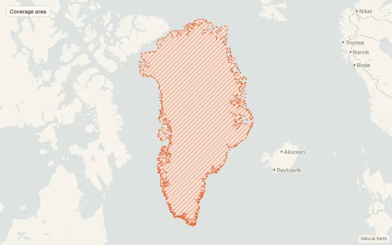
- Greenland (ice-free area)
- Scale
- 1:50,000
- Last updated
- Added to findgis 30 Oct 2026 · Update frequency Irregular
Tags
The Danish Agency for Climate Data uses symbols and contour lines to show physical conditions in the open country.
Source and attribution
- Publisher
- Klimadatastyrelsen (Danish Agency for Climate Data)
- License
- Attribution
- Commercial use
- Yes
- Attribution required
- Yes
- Modification allowed
- Yes
- Redistribution allowed
- Yes
- Share-alike
- No
- Region
- ArcticGL
- Type
- Vector
- Extent
- -73.359.8-11.383.7West, south, east, north. Data extent.
Related datasets
- ElevationIceBridge BedMachine GreenlandRasterArcticDEMBathymetryGreenland's bed, bathymetry, and ice thickness are gridded together at 150 m.
- HydrologyGreenland Ice-Marginal Lake Inventory annual time-series (Greenland)VectorArcticHydrographyLakesGlaciersAnnual outlines mark Greenland lakes that touch the ice sheet or nearby glaciers.
- ClimateMEaSUREs Multi-year Greenland Ice Sheet Velocity Mosaic V001RasterArcticGlaciersMulti-year flow speed of ice across the Greenland ice sheet.
- ElevationMEaSUREs Greenland Ice Mapping Project (GIMP) Digital Elevation Model V001RasterArcticDEMGlaciersSurface heights across the Greenland ice sheet, posted every 30 m.