

Utah Ski Trails XC
Utah Automated Geographic Reference Center (AGRC)
- License
- Attribution
- Commercial
- Yes
- Format
- Several
- Coverage
- Utah, United States
- Last updated
- 7 Mar 2026 · Update frequency Irregular
Tags
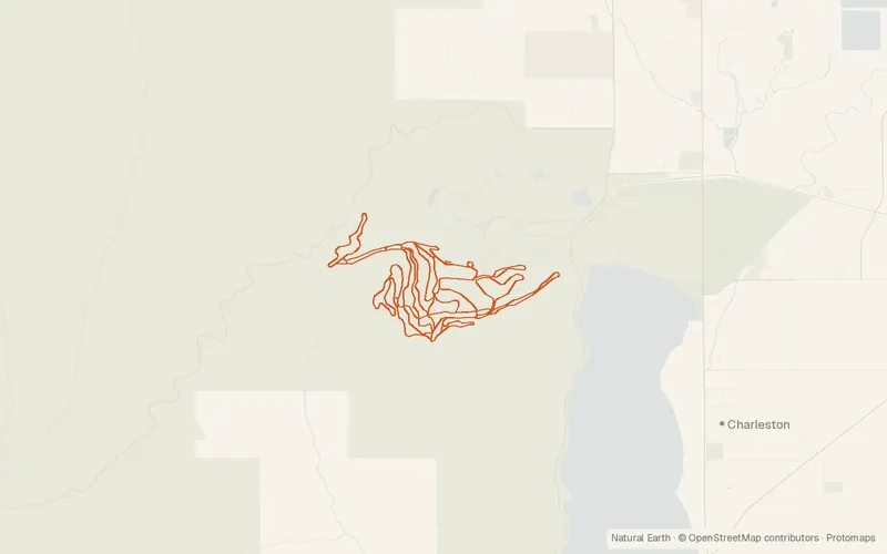
2007 lines for Mountain Dell and Soldier Hollow, with name and length in meters. Brian Head, Snowbasin, and Sundance are among those still missing.
CartaTerra can export this layer as GeoPackage, Shapefile, GeoJSON, KML, CSV, or GPX.
Source and attribution
- Publisher
- Utah Automated Geographic Reference Center (AGRC)
- License
- Attribution
- Commercial use
- Yes
- Attribution required
- Yes
- Modification allowed
- Yes
- Redistribution allowed
- Yes
- Share-alike
- No
- Region
- United StatesUS · UT
- Type
- Vector
- Service
- ArcGIShttps://services1.arcgis.com/99lidPhWCzftIe9K/arcgis/rest/services/SkiTrails_XC/FeatureServer
- Extent
- -111.710740.473-111.487340.7543West, south, east, north. Data extent.
Related datasets
- Camping and recreationUtah Boat RampsVectorUnited StatesRiversLakesLaunch sites for watercraft along lakes and rivers across Utah.
- Camping and recreationUSFS CampgroundsVectorUnited StatesCampgrounds on national forest land.
- Camping and recreationNPS CampgroundsVectorUnited StatesParksCampgrounds inside national park units.
- Camping and recreationBLM CampgroundsVectorUnited StatesCampgrounds listed as recreation sites.
- Camping and recreationHot SpringsVectorUnited StatesPlaces where hot springs emerge.
- Camping and recreationViewpointsVectorUnited StatesPlaces marked for the view.