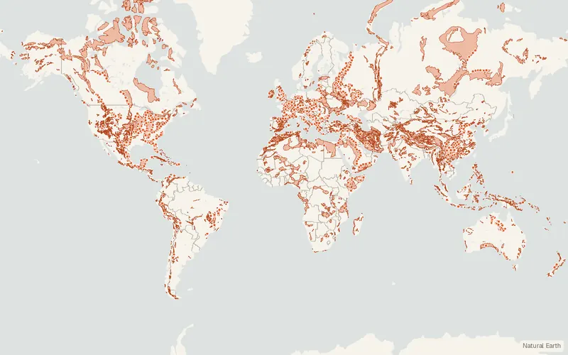
World Karst Aquifer Map (WOKAM)
BGR / IAH / KIT / UNESCO (WHYMAP)
- License
- See publisher
- Commercial
- Unknown
- Format
- Shapefile
- Coverage
- Global
- Scale
- 1:40,000,000
- Last updated
- Added to findgis 29 Oct 2026 · Update frequency Static
World Karst Aquifer Map (WOKAM) for Global.
Some publishers block opening this file in another site. CartaTerra will offer a download and upload instead.
Related datasets
- HazardsUSGS Earthquake Catalog (ComCat)Earthquake locations, depths and magnitudes you can search.
- HazardsGEM Global Active FaultsActive faults mapped with consistent attributes.
- HazardsNASA FIRMS Active Fire DataActive fires and thermal hotspots detected in near real time.
- HazardsNCEI Tsunami, Earthquake and Volcano DatabasesHistoric tsunamis, significant earthquakes and volcanic eruptions.
- HazardsIBTrACS Tropical Cyclone TracksTracks and intensities of tropical cyclones.
- HazardsGlobal River Flood Hazard Maps (GloFAS)Global River Flood Hazard Maps.