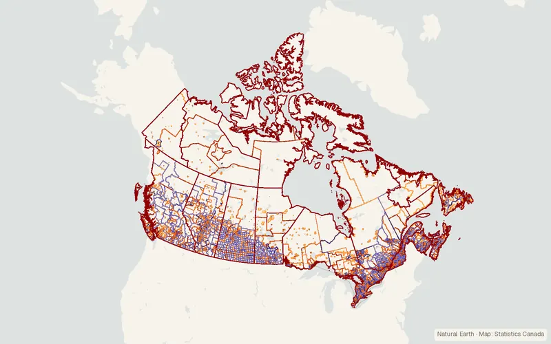
Statistics Canada Census Boundary Files
Statistics Canada
- License
- Attribution
- Commercial
- Yes
- Format
- Shapefile, Several
- Coverage
- Canada
- Last updated
- Added to findgis 27 Oct 2026 · Update frequency Irregular
Statistics Canada census boundary files.
CartaTerra can export this layer as GeoPackage, Shapefile, GeoJSON, KML, CSV, or GPX.
Related datasets
- Public landAboriginal Lands of Canada Legislative BoundariesAboriginal Lands of Canada Legislative Boundaries.
- BoundariesCanVec Topographic Data of CanadaTopographic base layers for mapping at 1:50,000.
- LocationCanadian Geographical Names - CGNCanadian Geographical Names CGN for mapping.
- AgricultureAgricultural Ecumene Boundary File - 2021 (Canada)Agricultural Ecumene Boundary File for mapping.
- TransportationNational Road Network - NRN - GeoBase Series (Canada)National Road Network NRN GeoBase Series.
- AgricultureCensus of Agriculture: Agri-Environmental Spatial Data (AESD) (Canada)Census of Agriculture Agri-Environmental Spatial Data.