SCAR Antarctic Digital Database: High resolution vector polygons of the Antarctic coastline (Antarctica)
UK Polar Data Centre / BAS Mapping and Geographic Information Centre (MAGIC) for SCAR
- License
- Attribution
- Commercial
- Yes
- Format
- GeoPackage, Shapefile
- Coverage
- Antarctica (south of 60°S)
- Last updated
- Added to findgis 30 Oct 2026 · Update frequency Irregular
SCAR Antarctic Digital Database: High resolution vector polygons of the Antarctic coastline (Antarctica) for Antarctica (south of 60°S).
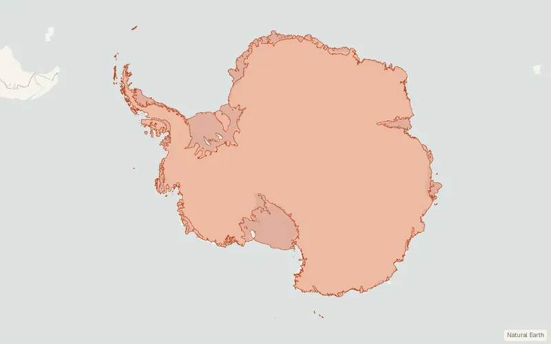
CartaTerra can export this layer as GeoPackage, Shapefile, GeoJSON, KML, CSV, or GPX.
Related datasets
- BoundariesMEaSUREs Antarctic Boundaries for IPY 2007-2009 from Satellite Radar, Version 2 (Antarctica)MEaSUREs Antarctic Boundaries for IPY - from Satellite Radar Version.
- LocationSCAR Composite Gazetteer of Antarctica (Antarctica)SCAR Composite Gazetteer of Antarctica.
- LocationLocations of Antarctic historic sites and monuments (Antarctica)Locations of Antarctic historic sites and monuments.
- Geology and soilsSCAR Antarctic Digital Database: High resolution vector polygons of Antarctic rock outcrop (Antarctica)SCAR Antarctic Digital Database High resolution polygons of Antarctic rock outcrop.
- ElevationSCAR Antarctic Digital Database: High resolution vector contours for Antarctica (Antarctica)SCAR Antarctic Digital Database High resolution contours for Antarctica.
- HydrologySCAR Antarctic Digital Database: High resolution Antarctic lakes dataset (Antarctica)SCAR Antarctic Digital Database High resolution Antarctic lakes dataset.