DOC Public Conservation Land (New Zealand)
Department of Conservation (DOC)
- License
- Attribution
- Commercial
- Yes
- Format
- Several
- Coverage
- New Zealand
- Last updated
- Added to findgis 30 Oct 2026 · Update frequency Irregular
DOC Public Conservation Land (New Zealand).
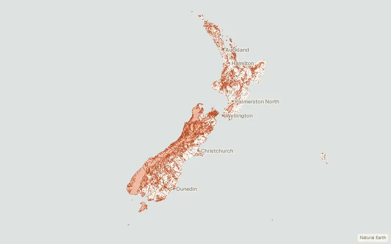
CartaTerra can export this layer as GeoPackage, Shapefile, GeoJSON, KML, CSV, or GPX.
Related datasets
- BoundariesNZ Primary ParcelsNZ Primary Parcels for mapping.
- BoundariesRegional Council 2025 (New Zealand)Regional Council as published for mapping.
- BoundariesTerritorial Authority 2026 (New Zealand)Territorial Authority as published for mapping.
- TrailsDOC Tracks (New Zealand)DOC Tracks as published for mapping.
- BoundariesStatistical Area 2 2026 (New Zealand)Statistical Area as published for mapping.
- BoundariesNZ Coastlines and Islands Polygons (Topo 1:50k)NZ Coastlines and Islands Polygons.