National Park Service Sites
National Park Service
- License
- Public domain
- Commercial
- Yes
- Format
- GeoPackage
- Coverage
- United States, 429 park units
- Last updated
- Added to findgis 27 Oct 2026
National Park Service unit boundaries used on CartaTerra.
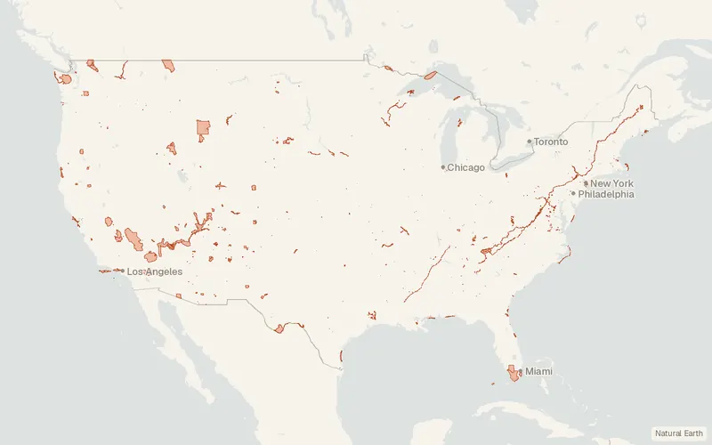
CartaTerra can export this layer as GeoPackage, Shapefile, GeoJSON, KML, CSV, or GPX.
Related datasets
- BoundariesTIGER/LineCounties, tracts, roads, and other geographic lines.
- Protected areasPAD-USProtected areas with manager and designation.
- TrailsNational Park TrailsTrails inside national park units.
- BoundariesPLSS TownshipsTownships from the public land survey.
- Protected areasInternational Dark Sky PlacesPlaces certified for their dark skies.
- BoundariesBIA American Indian and Alaska Native Land AreasReservations, trust lands and other tribal land areas.