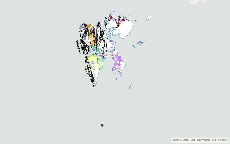
Geological map of Svalbard (1:250000)
Norwegian Polar Institute
- License
- Attribution
- Commercial
- Yes
- Format
- Several
- Coverage
- Svalbard
- Scale
- 1:250,000
- Last updated
- Added to findgis 29 Oct 2026 · Update frequency Irregular
Geological map of Svalbard (1:250000).
CartaTerra can export this layer as GeoPackage, Shapefile, GeoJSON, KML, CSV, or GPX.
Related datasets
- ElevationMerged NPI-ArcticDEM Svalbard digital elevation modelMerged NPI-ArcticDEM Svalbard digital elevation model.
- LocationKartdata Svalbard 1:100 000 (S100 Kartdata) / Map DataKartdata Svalbard Map Data for mapping.
- Protected areasProtected areas (Svalbard)Protected areas as published for mapping.
- Public landJaktforbudssoner SvalbardJaktforbudssoner Svalbard as published for mapping.
- Public landFerdselregler på SvalbardFerdselregler på Svalbard for mapping.
- Land coverGlacier Area Outlines - SvalbardGlacier Area Outlines Svalbard for mapping.