National Trails (England)
Natural England
- License
- Attribution
- Commercial
- Yes
- Format
- Shapefile, GeoJSON, CSV
- Coverage
- England
- Last updated
- Added to findgis 29 Oct 2026 · Update frequency Irregular
National Trails (England).
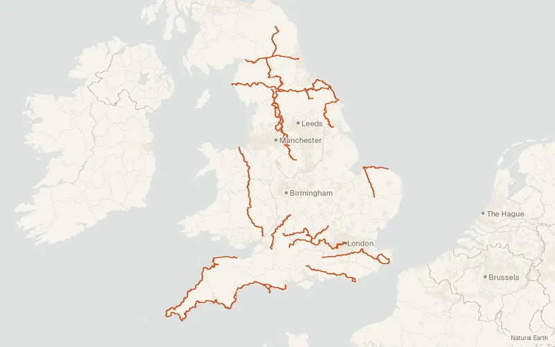
CartaTerra can export this layer as GeoPackage, Shapefile, GeoJSON, KML, CSV, or GPX.
Related datasets
- Public landCRoW Act 2000 - Access LayerCRoW Act Access Layer for mapping.
- Protected areasSites of Special Scientific Interest (England)Sites of Special Scientific Interest.
- Protected areasAreas of Outstanding Natural Beauty / National Landscapes (England)Areas of Outstanding Natural Beauty National Landscapes.
- EcologyAncient Woodland (England)Ancient Woodland as published for mapping.
- EcologyPriority Habitats Inventory (England)Priority Habitats Inventory for mapping.
- Protected areasNational Parks (England)National Parks as published for mapping.