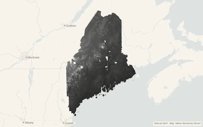
Maine Elevation DEM Statewide
Maine GeoLibrary Board
- License
- Public domain
- Commercial
- Yes
- Format
- Several
- Coverage
- Maine, United States
- Last updated
- Added to findgis 30 Oct 2026 · Update frequency Irregular
Maine Elevation DEM Statewide.
CartaTerra can export this layer as GeoPackage, Shapefile, GeoJSON, KML, CSV, or GPX.
Related datasets
- BoundariesMaine Unorganized Territory ParcelsMaine Unorganized Territory Parcels for mapping.
- HydrologyWetlands (New Brunswick)Wetlands as published for mapping.
- Geology and soilsBedrock Geology (New Brunswick)Bedrock Geology as published for mapping.
- HydrologyATTAINS Assessed Waters (303(d) and Water Quality Assessments)ATTAINS Assessed Waters and Water Quality Assessments.
- HydrologyUSGS Water Data for the Nation groundwater-level field measurementsUSGS Water Data for the Nation groundwater-level field measurements.
- HydrologyNational Hydrography DatasetRivers, streams, lakes, and how they connect.