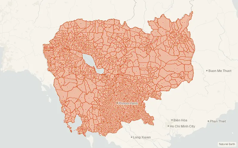
Cambodia – Subnational Administrative Boundaries (COD-AB)
UN OCHA (source: Department of Geography of the Ministry of Land Management, Urbanization and Construction in 2008, WFP)
- License
- Attribution
- Commercial
- Yes
- Format
- GeoJSON, Shapefile
- Coverage
- Cambodia
- Last updated
- Added to findgis 29 Oct 2026 · Update frequency Annual
Cambodia – Subnational Administrative Boundaries (COD-AB).
Some publishers block opening this file in another site. CartaTerra will offer a download and upload instead.