Former Military Sites (FUDS)
USACE Formerly Used Defense Sites (FY2024)
- License
- Public domain
- Commercial
- Yes
- Format
- GeoPackage
- Coverage
- United States, 8,837 records
- Last updated
- Added to findgis 27 Oct 2026
Former Military Sites from USACE Formerly Used Defense Sites (FY2024) (8,837 records).
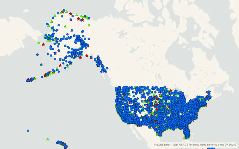
CartaTerra can export this layer as GeoPackage, Shapefile, GeoJSON, KML, CSV, or GPX.
Related datasets
- BoundariesTIGER/LineCounties, tracts, roads, and other geographic lines.
- Protected areasPAD-USProtected areas with manager and designation.
- BoundariesPLSS TownshipsTownships from the public land survey.
- Protected areasInternational Dark Sky PlacesPlaces certified for their dark skies.
- BoundariesBIA American Indian and Alaska Native Land AreasReservations, trust lands and other tribal land areas.
- Protected areasUSFWS Critical HabitatCritical habitat designated for threatened and endangered species.