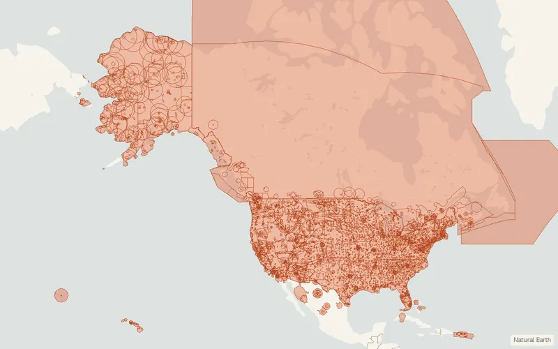
Class Airspace (FAA Aeronautical Data)
U.S. Federal Aviation Administration (Aeronautical Information Services)
- License
- Public domain
- Commercial
- Yes
- Format
- Shapefile, GeoJSON, CSV
- Coverage
- United States, Puerto Rico, U.S. Virgin Islands
- Last updated
- Added to findgis 29 Oct 2026 · Update frequency Irregular
Class Airspace (FAA Aeronautical Data) for United States, Puerto Rico, U.S. Virgin Islands.
CartaTerra can export this layer as GeoPackage, Shapefile, GeoJSON, KML, CSV, or GPX.
Related datasets
- InfrastructureU.S. Wind Turbine Database (USWTDB)US Wind Turbine Database for mapping.
- InfrastructureU.S. Large-Scale Solar Photovoltaic Database (USPVDB)US Large-Scale Solar Photovoltaic Database.
- InfrastructureEmissions & Generation Resource Integrated Database (eGRID)Emissions & Generation Resource Integrated Database.
- InfrastructureU.S. Energy AtlasPower plants, pipelines, transmission lines and energy facilities.
- InfrastructureUSA StructuresBuilding footprints labeled with occupancy type.
- InfrastructureFAA Digital Obstacle FileTowers, antennas and other obstacles to air navigation.