Municipal, Provincial and Autonomous Community Boundaries (Spain)
National Center for Geographic Information (CNIG), Instituto Geográfico Nacional
- License
- Attribution
- Commercial
- Yes
- Format
- Shapefile, GeoPackage
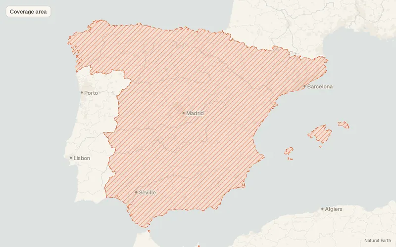
- Coverage
- Spain
- Last updated
- Added to findgis 30 Oct 2026 · Update frequency Irregular
Municipal, Provincial and Autonomous Community Boundaries (Spain).
Related datasets
- BoundariesOfficial Administrative Map of Portugal (CAOP) 2025 (Portugal)Official Administrative Map of Portugal.
- PopulationGEOSTAT / Census 2021 Population Grid (1 km²)GEOSTAT Census Population Grid for mapping.
- PopulationContours... IRIS® – FranceContours IRIS France for mapping.
- BoundariesMorocco – Subnational Administrative Boundaries (COD-AB)Subnational Administrative Boundaries for mapping.