LIDAR Composite DTM/DSM (England)
Environment Agency
- License
- Attribution
- Commercial
- Yes
- Format
- GeoTIFF
- Coverage
- England
- Resolution
- 1 m
- Last updated
- Added to findgis 29 Oct 2026 · Update frequency Annual
LIDAR Composite DTM/DSM (England).
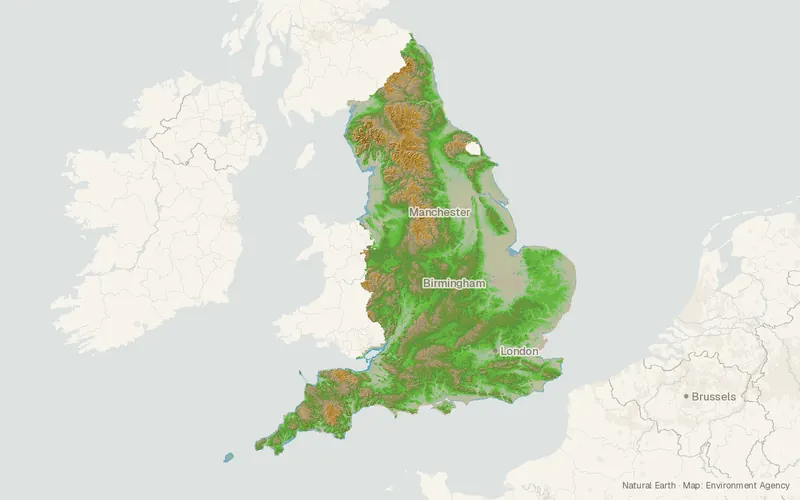
CartaTerra can export this layer as GeoPackage, Shapefile, GeoJSON, KML, CSV, or GPX.
Related datasets
- HydrologyStatutory Main River MapStatutory Main River Map for mapping.
- HazardsFlood Map for Planning - Flood ZonesFlood Map for Planning Flood Zones.
- HazardsRecorded Flood OutlinesRecorded Flood Outlines for mapping.
- HazardsRisk of Flooding from Rivers and SeaRisk of Flooding from Rivers and Sea.
- InfrastructureAIMS Spatial Flood Defences (inc. standardised attributes)AIMS Spatial Flood Defences for mapping.
- Protected areasSites of Special Scientific Interest (England)Sites of Special Scientific Interest.