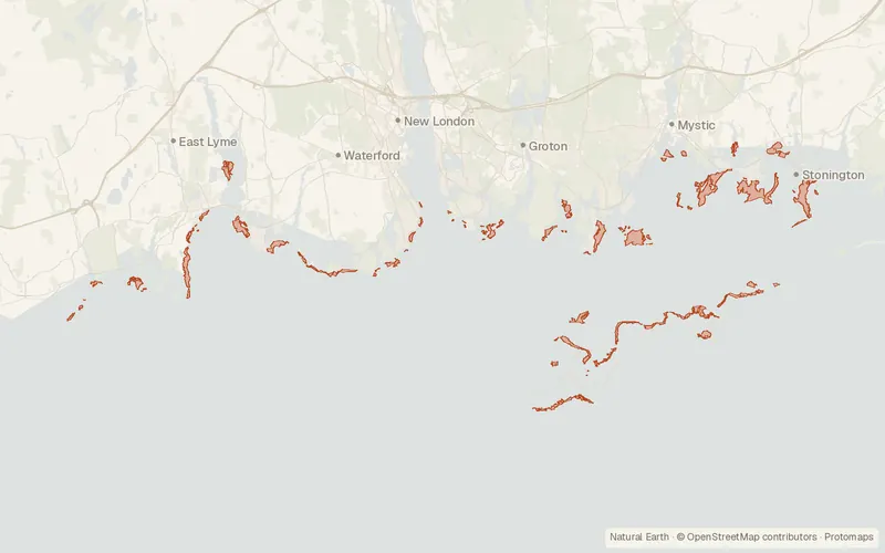
Eelgrass Beds 2017 Polygon (Connecticut)
Connecticut Department of Energy and Environmental Protection (DEEP)
- License
- Public domain
- Commercial
- Yes
- Format
- Several
- Coverage
- Connecticut, United States
- Last updated
- Added to findgis 30 Oct 2026 · Update frequency Irregular
Eelgrass Beds 2017 Polygon (Connecticut).
CartaTerra can export this layer as GeoPackage, Shapefile, GeoJSON, KML, CSV, or GPX.
Related datasets
- HydrologyAquifer Protection Areas Set (Connecticut)Aquifer Protection Areas Set for mapping.
- HydrologyConnecticut Dams - Public UseConnecticut Dams Public Use for mapping.
- HydrologyConnecticut Hydrography SetConnecticut Hydrography Set for mapping.
- HydrologyDrainage Basin Set (Connecticut)Drainage Basin Set for mapping.