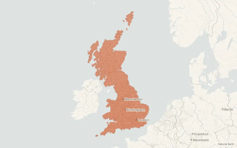
BGS GeoSure 5 km hex grid
British Geological Survey
- License
- Attribution
- Commercial
- Yes
- Format
- GeoPackage, Shapefile
- Coverage
- Great Britain
- Last updated
- Added to findgis 29 Oct 2026 · Update frequency Irregular
BGS GeoSure 5 km hex grid for Great Britain.
Related datasets
- Geology and soilsBGS Geology 625kBedrock and superficial geology mapped at 1:625,000.
- Geology and soilsBGS Hydrogeology 625k digital hydrogeological map of the UKBGS Hydrogeology 625k digital hydrogeological map of the UK.
- Geology and soilsBGS Soil Parent Material ModelBGS Soil Parent Material Model.
- ImageryMiniScaleMiniScale as published for mapping.
- Imagery1:250 000 Scale Colour RasterScale Colour as published for mapping.
- HazardsBGS/UKHSA Radon data: Indicative Atlas of RadonBGS UKHSA Radon data Indicative Atlas of Radon.