Cadastral data - Queensland series
Department of Natural Resources and Mines, Manufacturing and Regional and Rural Development
- License
- Attribution
- Commercial
- Yes
- Format
- Several
- Coverage
- Queensland, Australia
- Last updated
- Added to findgis 30 Oct 2026 · Update frequency Irregular
Cadastral data - Queensland series.
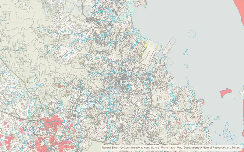
CartaTerra can export this layer as GeoPackage, Shapefile, GeoJSON, KML, CSV, or GPX.
Related datasets
- TransportationQueensland roads and tracksQueensland roads and tracks for mapping.
- PopulationAustralian Population Grid (1 km)Australian Population Grid for mapping.
- Public landNative Title DeterminationsNative Title Determinations for mapping.
- Public landLand tenure of Australia 2010–11 to 2015–16, 250 mLand tenure of Australia for mapping.
- LocationGeoscape Geocoded National Address File (G-NAF) (Australia)Geoscape Geocoded National Address File.
- BoundariesGeoscape Administrative Boundaries (Australia)Geoscape Administrative Boundaries for mapping.